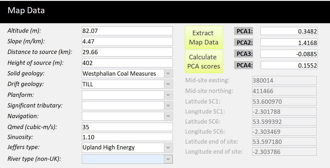
Map Data
You need to input data in some of the fields if you wish to calculate PCA scores (altitude, slope distance and height of source). The other fields are optional.

The form now includes river types for non-UK rivers when provided (eg Greek river typology). The river types will be used alongside a network of reference site to derive HQA classes.

Data Input Tips